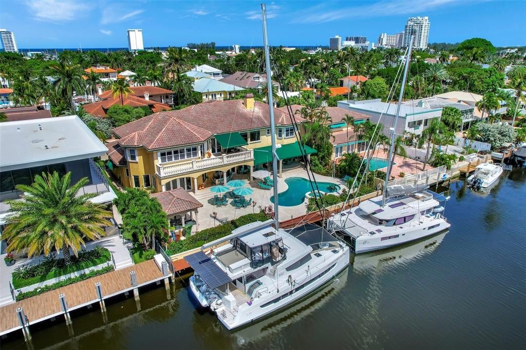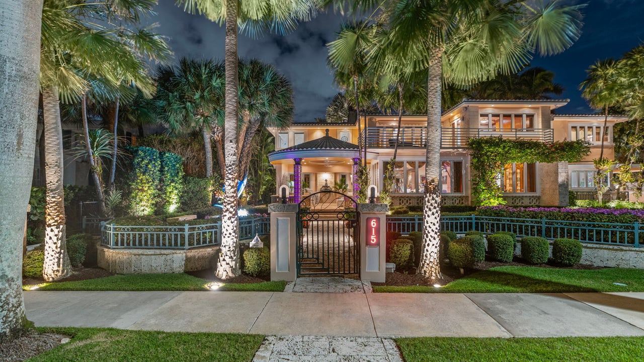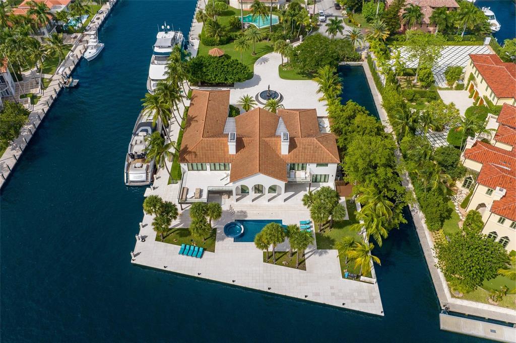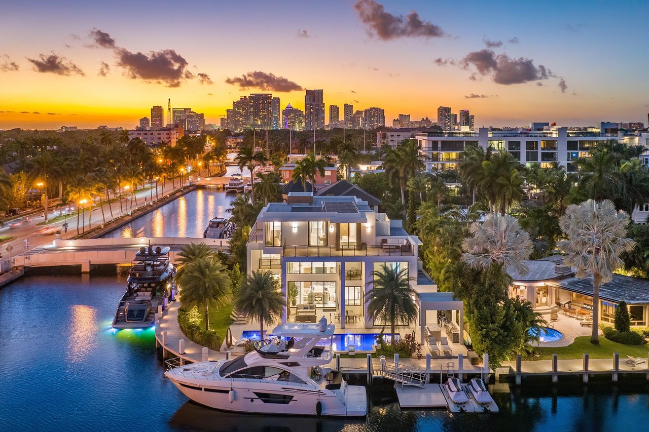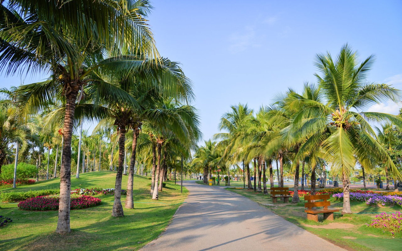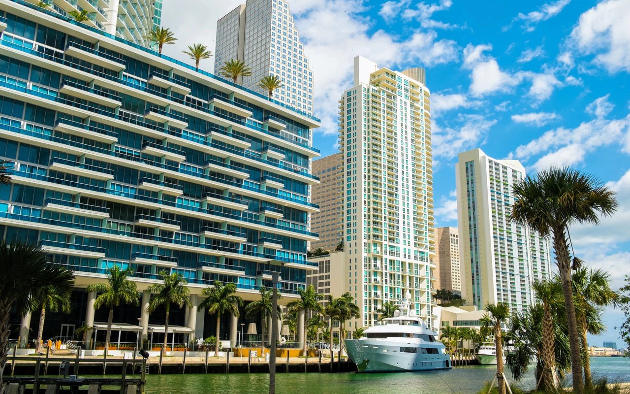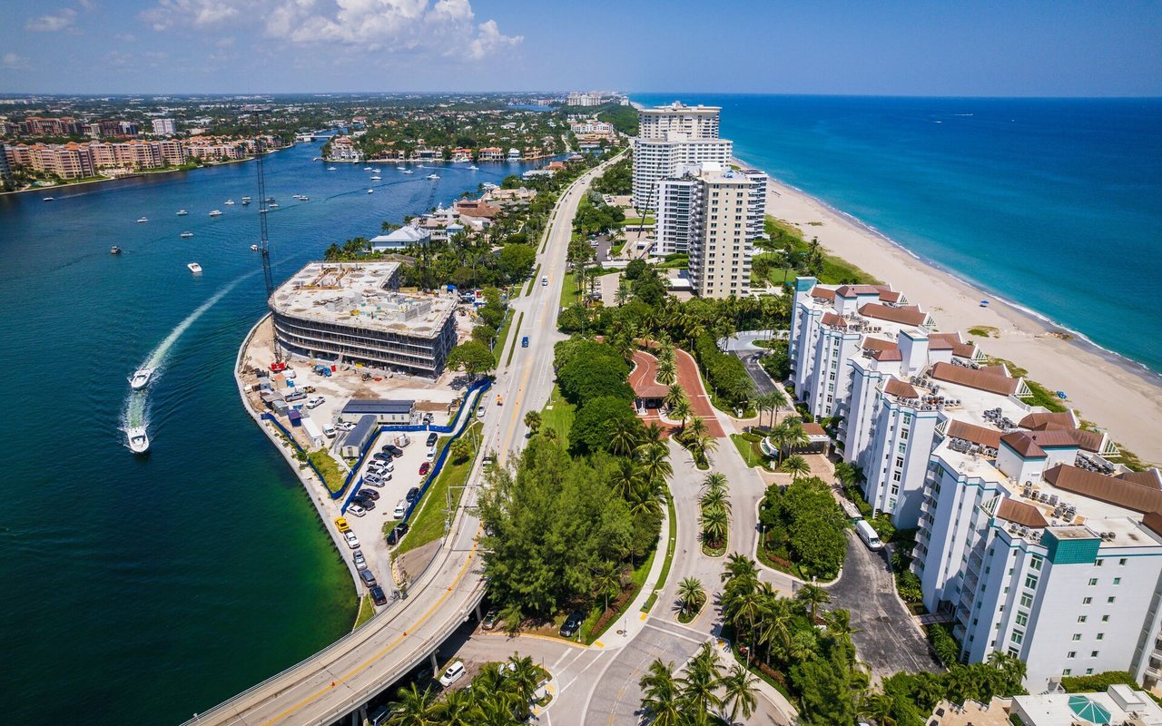
Seven Isles Fort Lauderdale Luxury Waterfront Homes
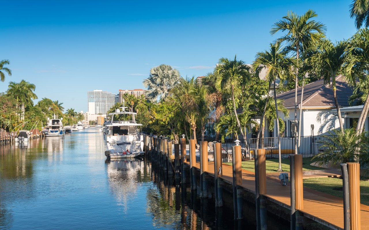
The Seven Isles neighborhood is situated north of Las Olas Boulevard with nine luxury home lined streets within the Seven Isles.
The Seven Isles neighborhood is situated north of Las Olas Boulevard with nine luxury home lined streets within the Seven Isles.
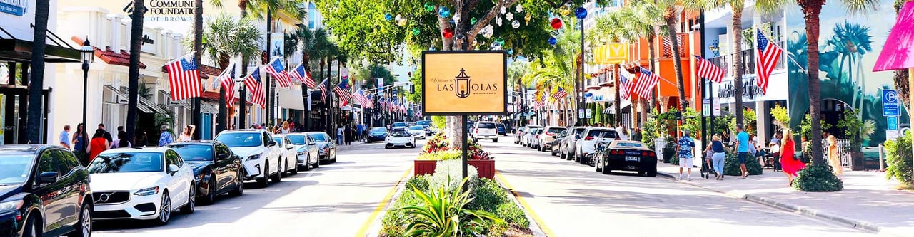
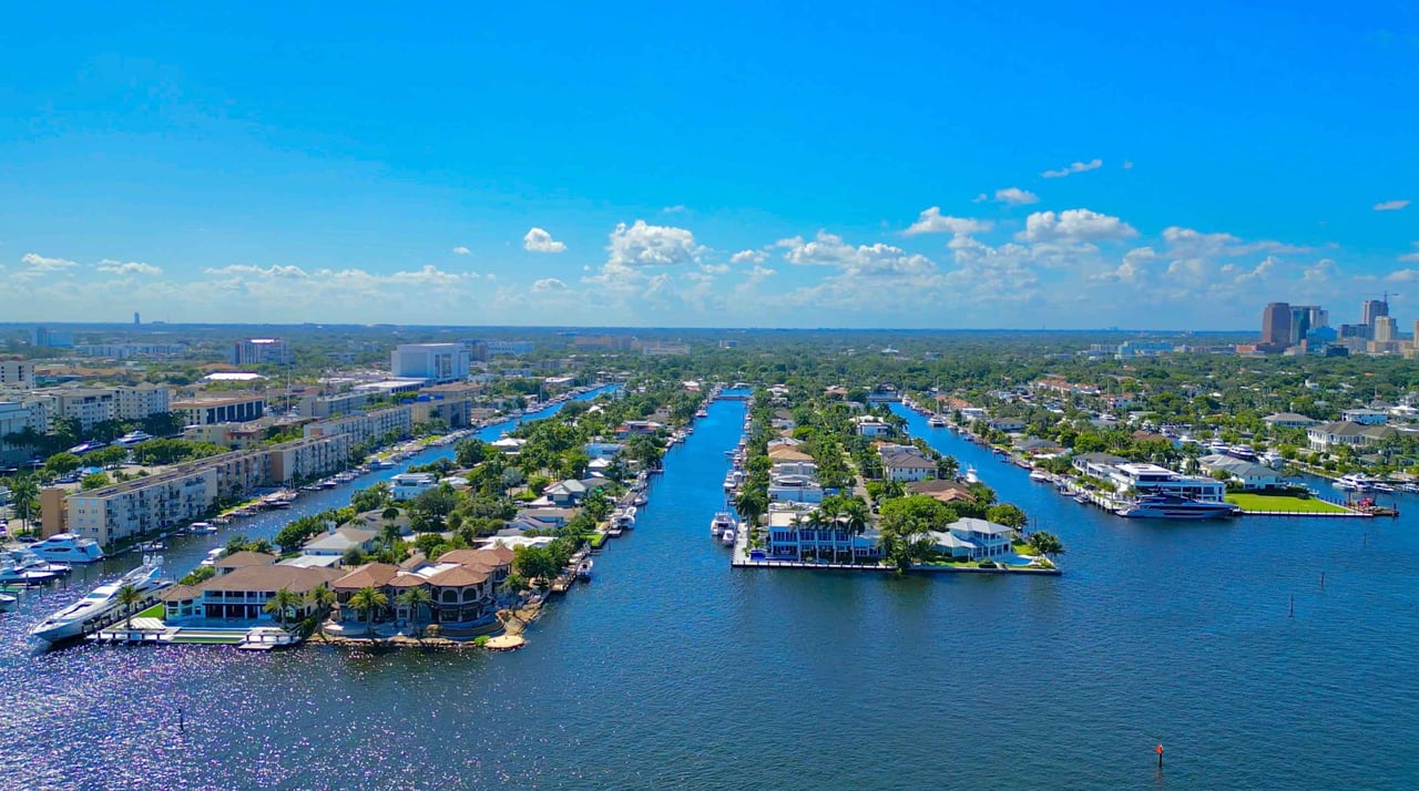
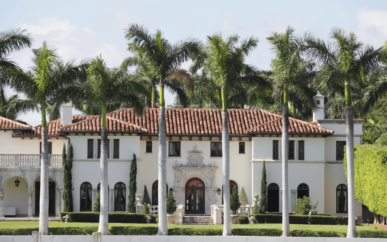
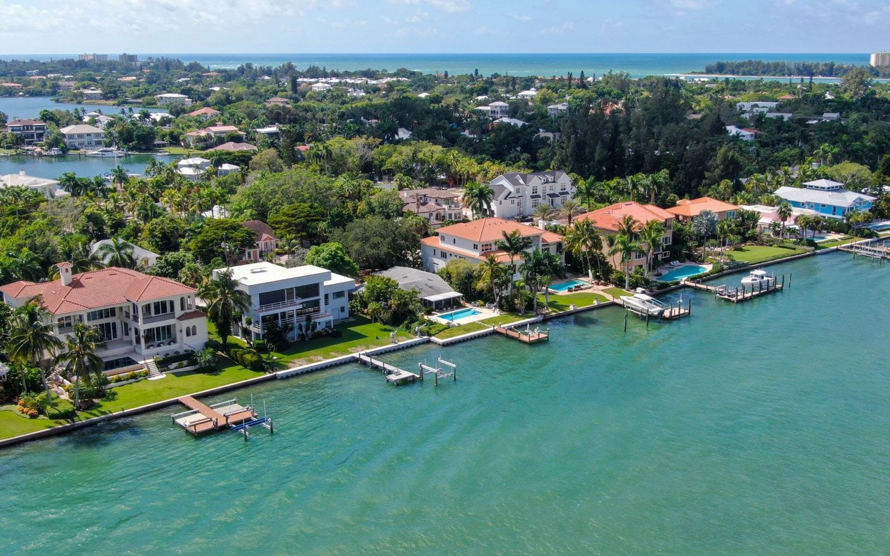
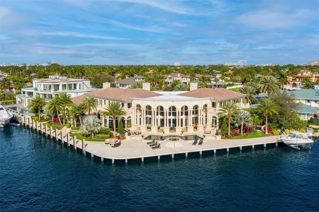
The Seven Isles neighborhood, located north of Las Olas Boulevard, consists of 315 households and approximately 1,145 residents. The Intracoastal Waterway forms its eastern and northern borders, while it is surrounded by several neighborhoods, including Sunrise Key and Sunrise Intracoastal to the north, Central Beach to the east, Idlewyld and Riviera Isles to the south, Las Olas Isles to the southwest, and Nurmi Isles to the west. The neighborhood is comprised of nine streets: Aqua Vista Boulevard, Barcelona Drive, Castilla Isle, Del Mar Place, De Sota Drive, De Sota Terrace, Pelican Isle, Sea Island Drive, and Seven Isles Drive. W.F. Morang, a developer from Boston, arrived in Fort Lauderdale in the early 1920s and played a significant role in the land boom from 1923 to 1926. His company, W.F. Morang & Sons, Inc., contributed to the dredging and development of several finger islands, including the 80-acre area now known as Seven Isles. Morang’s early projects included Rio Vista Isles, where he built roads and bridges before moving on to develop the land north of Las Olas Boulevard. At that time, this area was known as "Lauderdale Isles," which included Aqua Vista, Barcelona, De Sota, Sea Island, and Pelican Isle. Additionally, "Lauderdale Shores" consisted of Castilla and Del Mar.
The seven isles were named based on various themes, including Latin and Spanish influences. Aqua Vista translates to "Water View," while Barcelona takes its name from the city in Spain. Castilla, derived from the Spanish word “Castillo,” means “castle.” Del Mar translates to "Of the Sea" in Spanish, and De Sota is a reference to Spanish explorer Hernando De Soto. Pelican Isle and Sea Island reflect coastal and marine themes. Although Morang initiated the neighborhood’s development, he did not complete it or construct any homes. He did, however, begin building a hotel named The Croissantania at the eastern end of Aqua Vista Boulevard. Construction stopped when a material shortage affected all of Southeast Florida after the steel yacht Prinz Valdemar mysteriously sank at the entrance to Miami’s harbor, blocking the major supply route for building materials. This disaster, along with the devastating hurricane on September 17, 1926, ultimately ended the project. The hurricane also influenced the decision to create Port Everglades, though it took years before the port became operational.
As part of his promotional efforts, Morang constructed massive twin columns as a grand entrance to the development. These columns, set on pedestals about 25 feet apart, rose 40 feet into the sky and were positioned along a canal to maximize visibility from East Las Olas Boulevard. A boat dock ramp was also built between the columns, and Morang hired a boat captain to offer free sightseeing tours to potential buyers. However, the hurricane of 1926 caused extensive damage, toppling the twin columns and marking the end of the Florida land boom. Only the eastern pedestal remained intact at its original site from 1925. During the East Las Olas Boulevard renovation in 1995, the pedestal was at risk of demolition. A Seven Isles resident, Diane Hess, petitioned the city to save it, launched a preservation campaign, and secured funding, including a matching grant from the State of Florida. As a result, the pedestal was conserved and now stands 120 feet west of Seven Isles Drive.
The original plat of Seven Isles divided the 80 acres into 50-foot lots, but these were re-platted and consolidated into larger parcels between 1928 and 1937. From 1937 to 1952, the land was again re-platted, restoring individual lots, many of which were expanded beyond 75 or even 100 feet. With only one exception, the original 50-foot lots were either enlarged or merged with adjacent properties. Seven Isles Drive was initially named Southeast 23rd Avenue from East Las Olas Boulevard to Pelican Drive, where it then became Northeast 23rd Avenue, reflecting the city’s boundary distinctions. In 1986, a dedicated resident spearheaded the formation of the Seven Isles Homeowners’ Association. The association successfully petitioned to rename 23rd Avenue to Seven Isles Drive. With strong financial contributions from residents, a guardhouse was designed by a neighborhood resident and subsequently built, enhancing security and community identity.
346 people live in Seven Isles, Fort Lauderdale — Luxury Waterfront Living, where the median age is 62 and the average individual income is $197,833. Data provided by the U.S. Census Bureau.
Total Population
Median Age
Population Density Population Density This is the number of people per square mile in a neighborhood.
Average individual Income
There's plenty to do around Seven Isles, Fort Lauderdale — Luxury Waterfront Living, including shopping, dining, nightlife, parks, and more. Data provided by Walk Score and Yelp.
Explore popular things to do in the area, including Rick and Jo’s Amazing Cookies, The Host Table And Tap, and Steamy Lit.
| Name | Category | Distance | Reviews |
Ratings by
Yelp
|
|---|---|---|---|---|
| Dining | 4.52 miles | 17 reviews | 5/5 stars | |
| Dining | 2.3 miles | 22 reviews | 5/5 stars | |
| Shopping | 2.29 miles | 10 reviews | 5/5 stars | |
| Shopping | 0.98 miles | 5 reviews | 5/5 stars | |
| Shopping | 0.95 miles | 6 reviews | 5/5 stars | |
| Shopping | 2.52 miles | 14 reviews | 5/5 stars | |
| Active | 1.12 miles | 7 reviews | 5/5 stars | |
| Active | 0.57 miles | 8 reviews | 5/5 stars | |
| Beauty | 1.03 miles | 7 reviews | 5/5 stars | |
| Beauty | 1.4 miles | 14 reviews | 5/5 stars | |
| Beauty | 2.13 miles | 9 reviews | 5/5 stars | |
| Beauty | 2.03 miles | 30 reviews | 5/5 stars | |
| Beauty | 1.76 miles | 10 reviews | 5/5 stars | |
| Beauty | 1.39 miles | 6 reviews | 5/5 stars | |
| Beauty | 2.16 miles | 19 reviews | 5/5 stars | |
| Beauty | 1.9 miles | 18 reviews | 5/5 stars | |
| Beauty | 0.94 miles | 15 reviews | 5/5 stars | |
| Beauty | 1.91 miles | 16 reviews | 5/5 stars | |
| Beauty | 1.8 miles | 7 reviews | 5/5 stars | |
| Beauty | 3.03 miles | 55 reviews | 5/5 stars | |
| Beauty | 1.48 miles | 5 reviews | 5/5 stars | |
|
|
||||
|
|
||||
|
|
||||
|
|
||||
|
|
||||
|
|
Seven Isles, Fort Lauderdale — Luxury Waterfront Living has 151 households, with an average household size of 2. Data provided by the U.S. Census Bureau. Here’s what the people living in Seven Isles, Fort Lauderdale — Luxury Waterfront Living do for work — and how long it takes them to get there. Data provided by the U.S. Census Bureau. 346 people call Seven Isles, Fort Lauderdale — Luxury Waterfront Living home. The population density is 1,798.53 and the largest age group is Data provided by the U.S. Census Bureau.
Total Population
Population Density Population Density This is the number of people per square mile in a neighborhood.
Median Age
Men vs Women
Population by Age Group
0-9 Years
10-17 Years
18-24 Years
25-64 Years
65-74 Years
75+ Years
Education Level
Total Households
Average Household Size
Average individual Income
Households with Children
With Children:
Without Children:
Marital Status
Blue vs White Collar Workers
Blue Collar:
White Collar:
ADDRESS 401 E. Las Olas Blvd Suite 100, Fort Lauderdale, FL, 33325